穿透海洋資訊迷霧,建構 3D海洋監測新視野
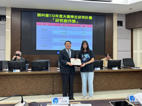
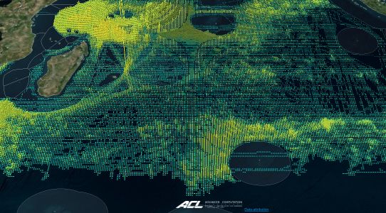
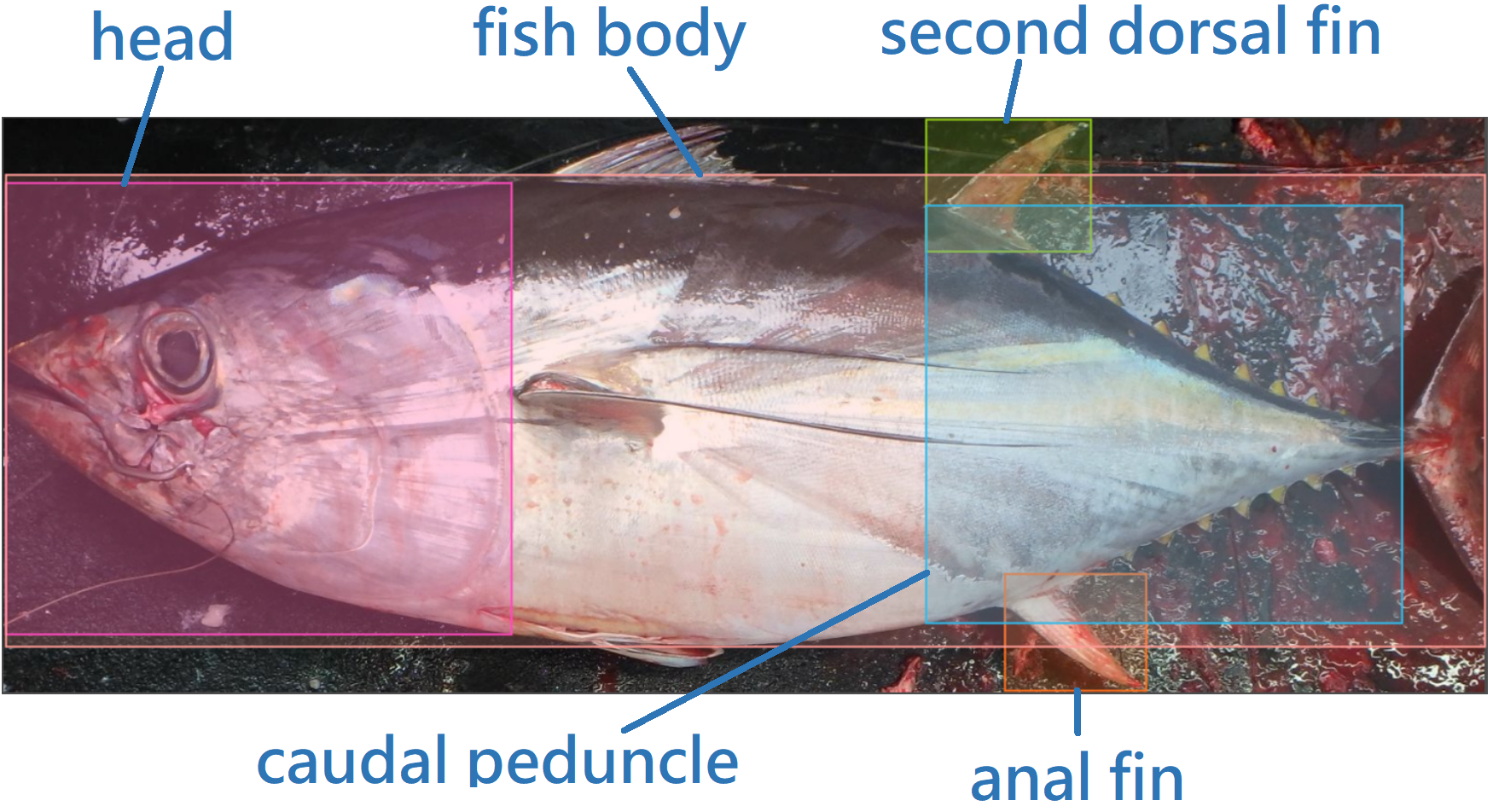
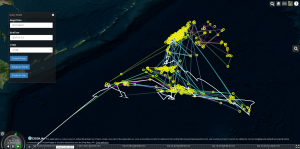
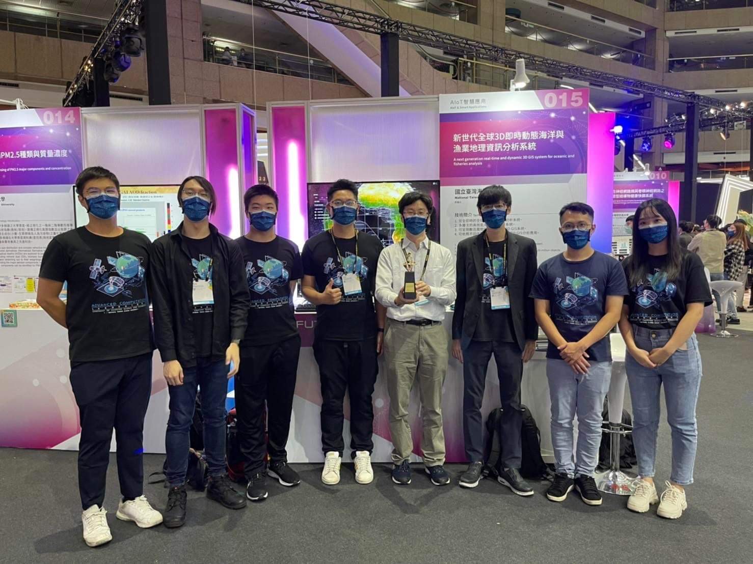
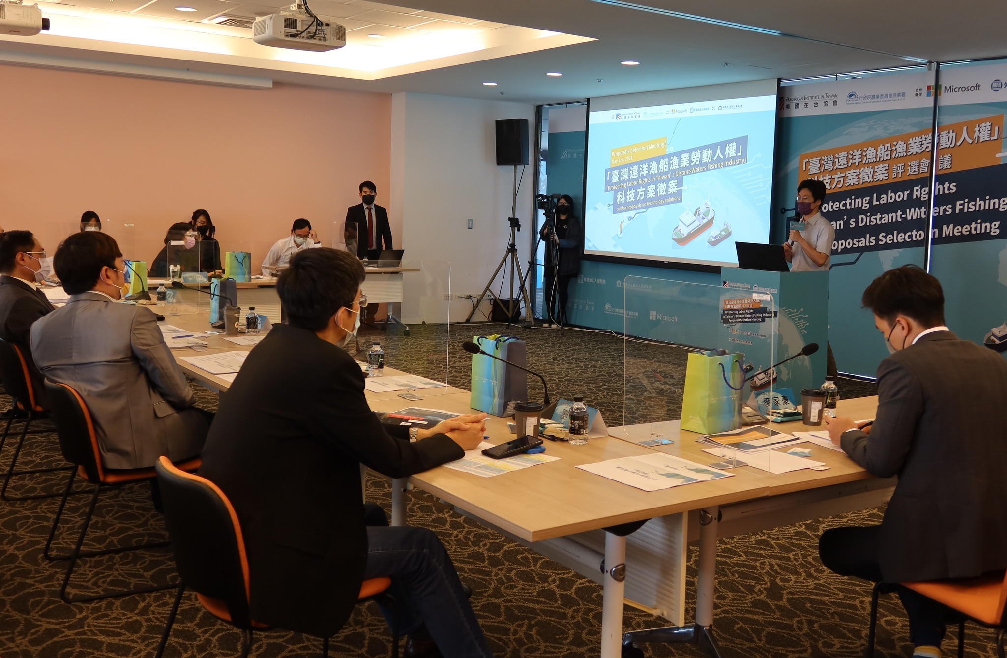
海洋佔地球表面約 70%,遠洋漁業的資源管理與作業安全,對身為漁業大國的臺灣至關重要。許為元教授帶領團隊開發「新世代全球 3D 即時動態海洋與漁業地理資訊分析系統」,將全球超過 300 萬件的監測資料即時視覺化,透過整合衛星、船舶與海氣象數據,研究成果不僅解除漁業歐盟黃牌危機,更為海域空間規劃、離岸風電航道分析及海上非法勞動監控提供科學實證,這項獲得國科會「未來科技獎」肯定的技術,正以數位力量厚植臺灣的海洋治理實力。 研究計畫亮點:3D 即時監控系統:即時監控系統整合 AIS、VMS 與 VDR 數據,精準掌握全球船舶動向與海域動態。 AI 電子觀察員:自主研發 100% 國造軟硬體,透過 AI 自動辨識魚種與漁工活動,簡化繁瑣申報流程並保障作業權益。 海洋治理決策輔助:應用於油污染災害應變與離岸風電空間規劃,將數據轉化為政策建議,協助政府應對國際規範挑戰。 影片連結: https://www.youtube.com/watch?v=7fB7yItA4sA Facebook 預告連結: https://www.facebook.com/share/r/1B1ZGVaVrq/ Youtube 預告連結: https://youtube.com/shorts/UYINT_bb288?si=7vhbbGgytFdYhthD Instagram 預告連結: https://reurl.cc/dpnZnk 官網側拍紀錄: https://reurl.cc/j6W0WL Views: 56